In 2014, the Company reported an updated Life of Mine Plan ("LOM Plan") for the Mineral Ridge Operation that included the Drinkwater, Mary, Mary LC, and the five satellite deposits, Brodie, Bluelite, Solberry, Wedge and Oromonte (see July 21, 2014 news release). As of November 2017, the Drinkwater, Bluelite, Solberry, Missouri, Wedge pits had been depleted and mining was suspended.
An updated feasibility study completed in Jan 2018 outlines positive economics for processing the residual heap leach material and mining of higher-grade mineralization remaining in the Brodie, Custer, Drinkwater Highwall, Mary LC, Bunkhouse and Oromonte deposits.
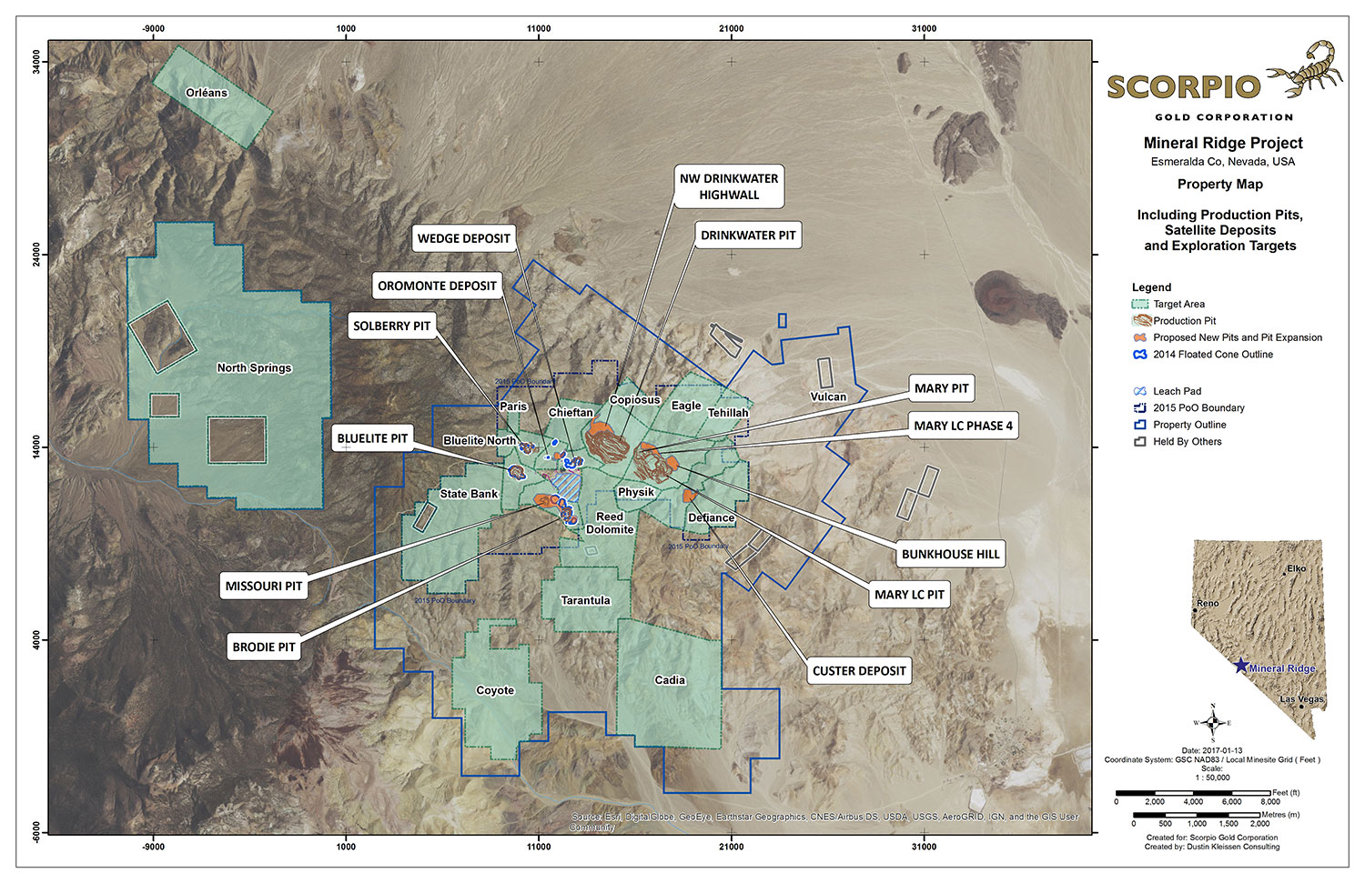
Property Map (PDF 2.9 Mb)
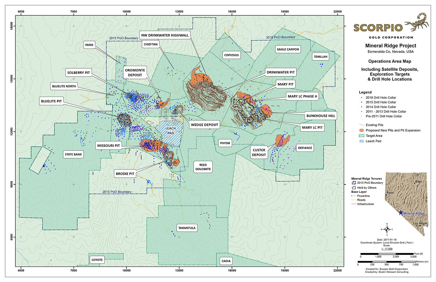
Operations Area Map (PDF 4.2 Mb)
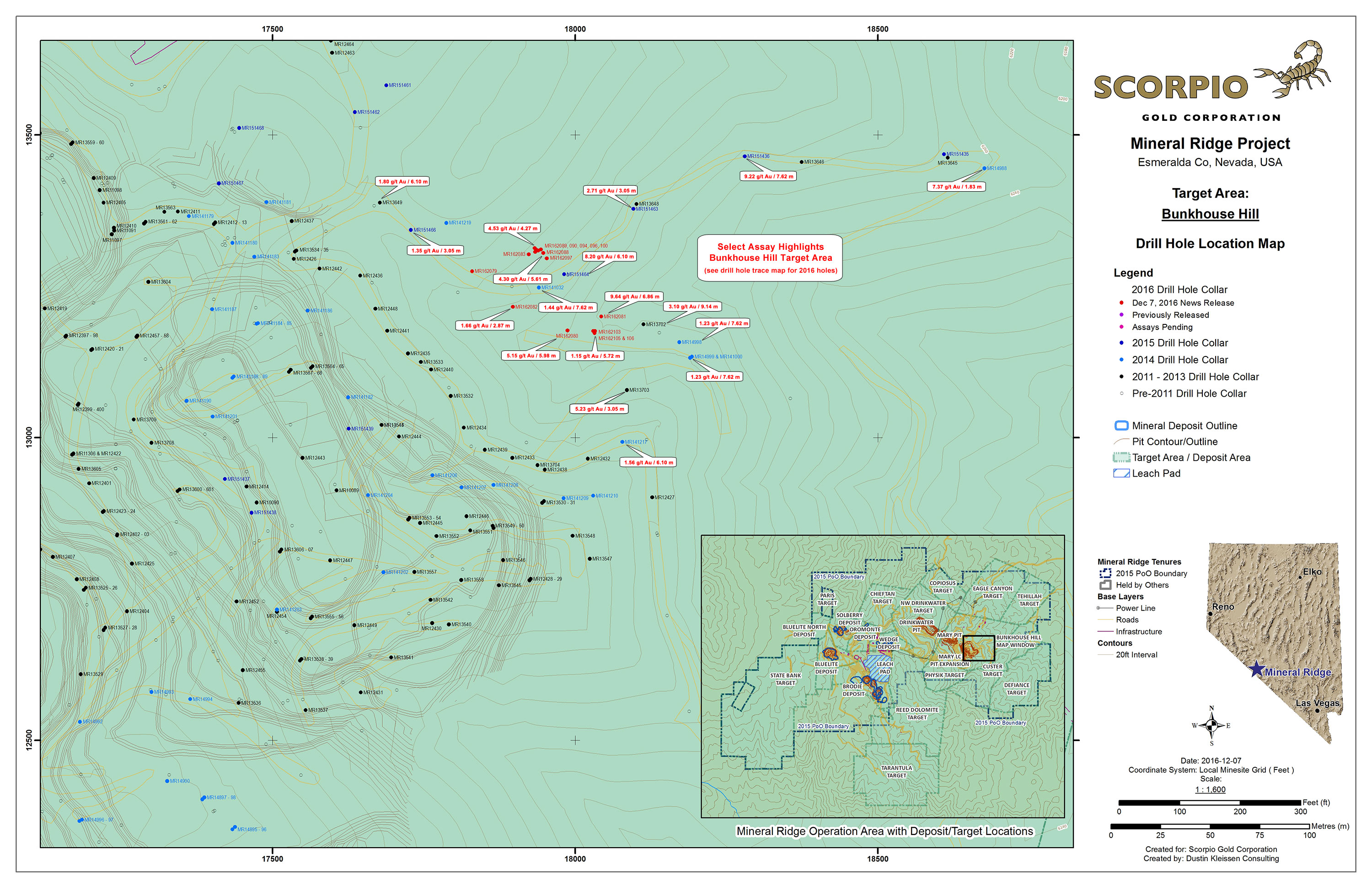
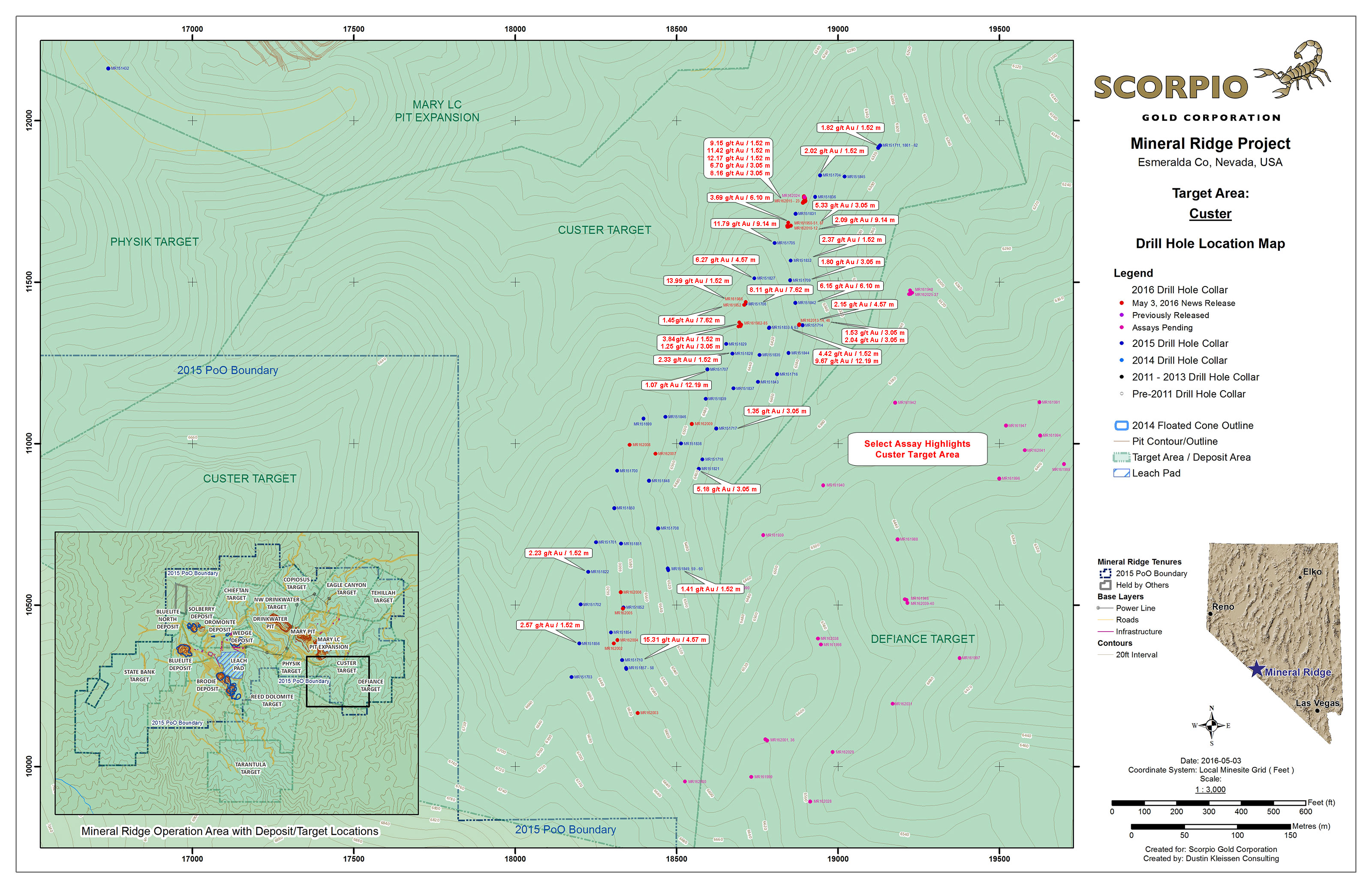
Operations Area Map with Drill Hole Locations (PDF 2.6 Mb)
Bunkhouse Hill Target Area
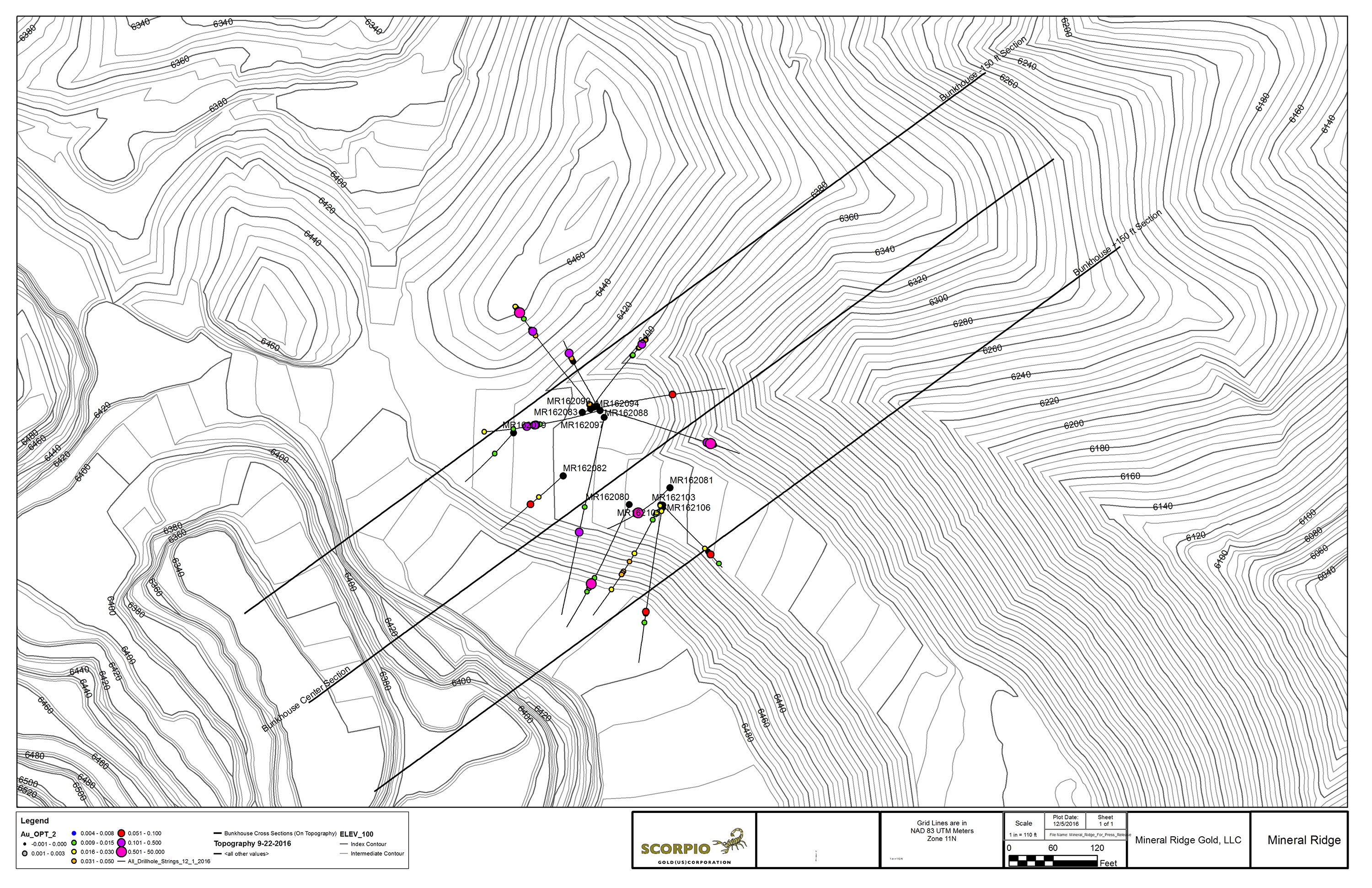
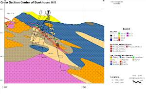
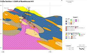
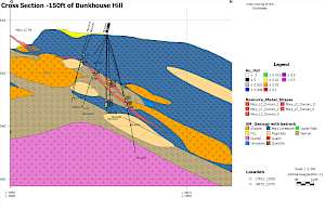
The Bunkhouse Hill area extends northeast of the Mary LC pit. Drilling in 2015 intersected significant mineralization extending 250 meters northeast of the Mary LC pit at vertical depths of 50 to 150 meters. Fifteen RC holes were drilled in 2016 to further test and delineate the economics for extending the Mary LC pit into this area.
Geologically, the Bunkhouse Hill target is the immediate down-dip extension of the mineralization present in the Mary LC pit. The mineralization at Bunkhouse dips at 39° NE vs. the more typical 25-30° NE dip of the Mary LC mineralization. This dip change is spatially related to a change in geology, whereby the mineralized zone transitions from being hosted in felsic intrusive rocks to sedimentary rocks of the Wyman formation. Mapping work has shown how important this rheological contrast is in the formation of ore zones. The Bunkhouse target is currently defined over a ~150 x 450 meter area and mineralization remains open down dip to the northeast.
Bunkhouse Hill Drill Cross Sections
Oromonte Deposit
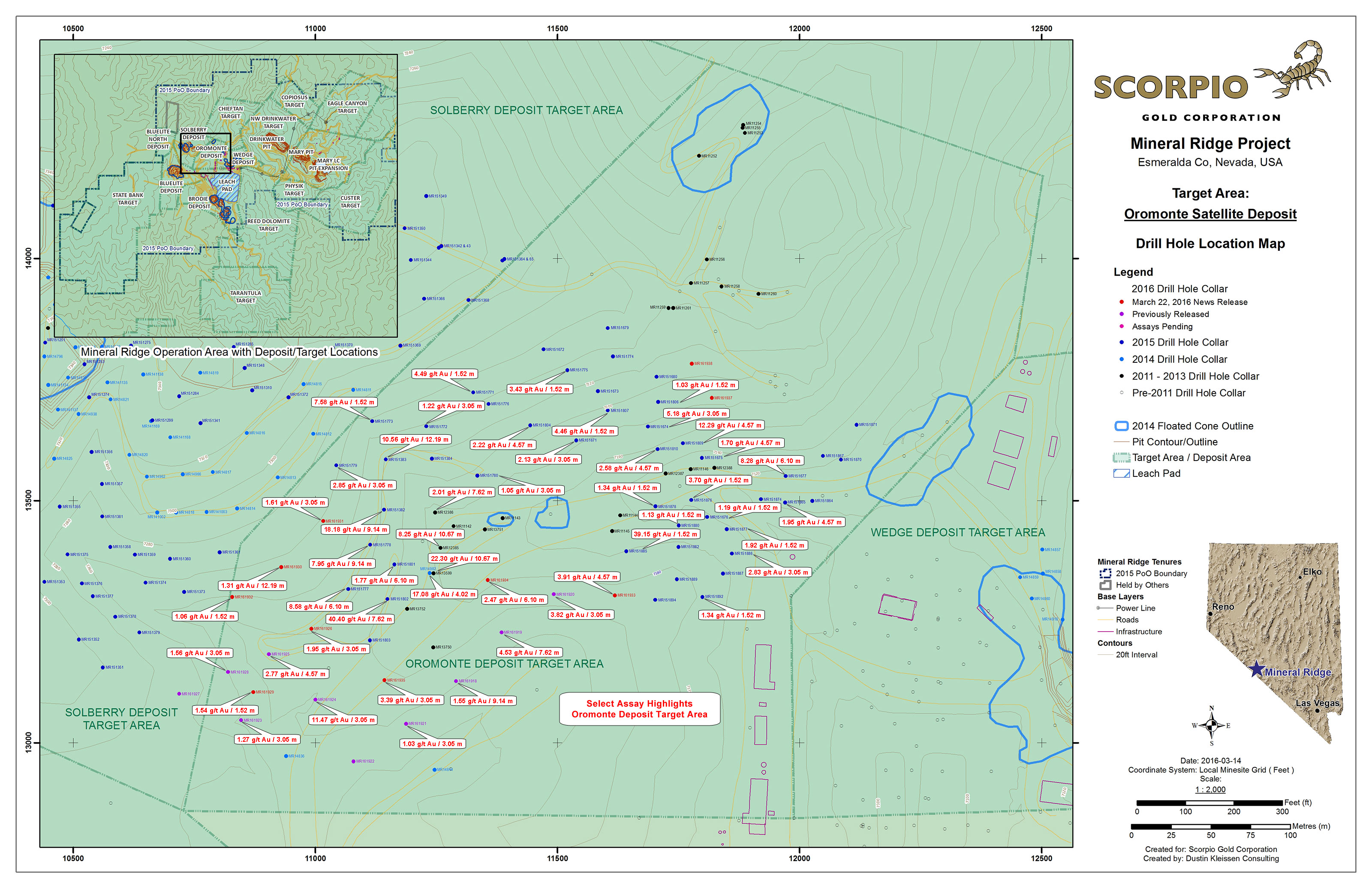
The Oromonte target occurs over a 300 x 500 meter area situated between the Solberry and Wedge deposits. A small mineral resource estimate for the deposit based on 53 RC drill holes was reported in the 2014 LOM Plan. Follow-up drilling in 2014-2016 intersected significant mineralization at vertical depths ranging from near surface to 150 meters depth across the target area.
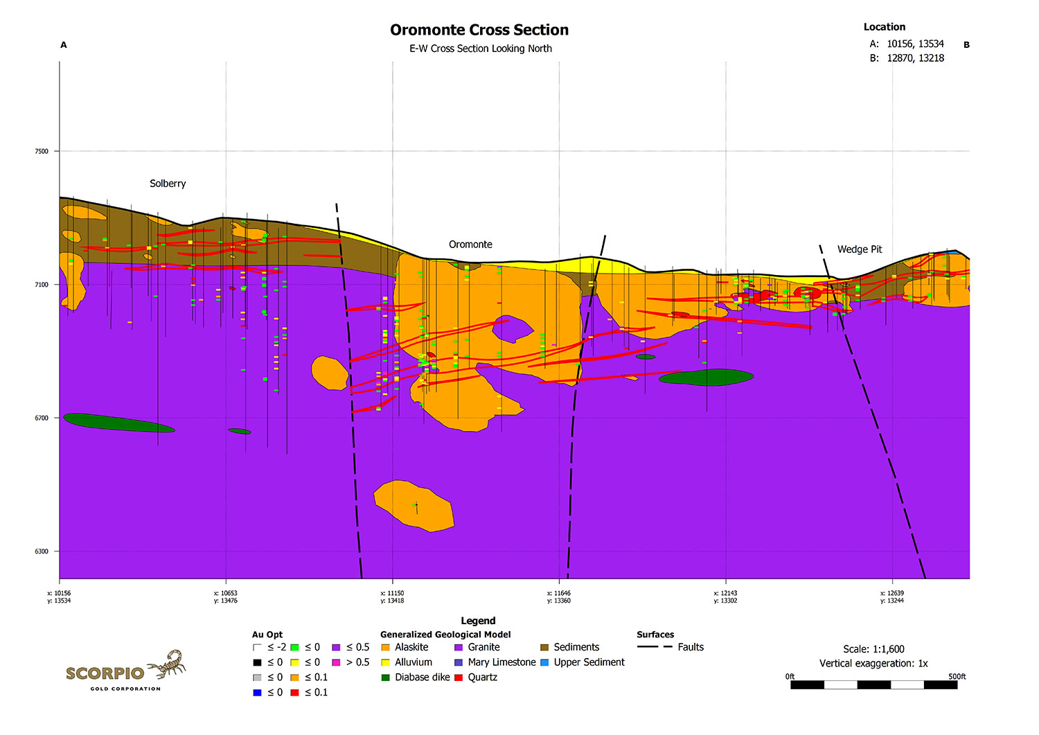
The mineralization at Oromonte is interpreted to be a continuation of the mineralized horizon(s) between the Solberry and Wedge deposits that have been offset by normal faulting. The occurrence of a higher-grade zone of mineralization at depth is thought to be related to a rheological contrast between the basement granite and a later intrusion of alaskite (leucogranite). The difference in deformational behaviour of the two rock types under stress may have caused greater structural damage and fluid flow within the mineralizing structures in this area, resulting in a higher-grade zone of mineralization. The Oromonte deposit was subsequently down-dropped by late-stage normal faulting. A generalized geological model of the mineralization is presented in the Oromonte Cross Section.
Although not accessible by open pit mining, the deeper mineralization at Oromonte may be amenable to underground extraction should further results support underground development. Historical underground workings occur in the Wedge deposit area approximately 180 meters to the east.
Oromonte Drill Plan (PDF 2.2 Mb)
Oromonte Cross Section (PDF 350 Kb)
Custer Deposit
Discovered in 2015, the Custer deposit lies along trend of and ~500 meters southeast of the Mary LC deposit. Structurally, Custer is very similar to the Drinkwater deposit, having far less of the post-mineral faulting and folding that was predominant in the Mary and Mary LC deposits. As a result, the mineralization at Custer is quite continuous and predictable. Definition drilling in 2016 followed up on a highly successful first-pass drilling program in 2015. A total of 81 holes have now outlined the Custer mineralized zone over a 150 x 200 meter area at depth (see May 3, 2016 news release). The Custer deposit is in the permitting process for future consideration of open-pit mining.


